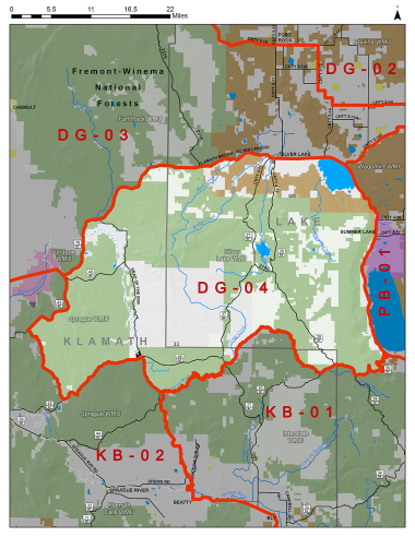
Boundary description
66% public land. Beginning at Silver Lake; southeast on State Hwy 31 to NF 29; west on NF 29 to NF 28; northwest on NF 28 to NF 30; west on NF 30 to Sycan Rvr at Pikes Crossing; downstream north and southwest on Sycan Rvr to NF 4400-830; west on NF 4400-830 to NF 44; northwest on NF 44 to NF 46; west on NF 46 to Williamson Rvr Rd; west on Williamson Rvr Rd to NF 4526; north on NF 4526 to NF 43 (Kirk Rd); northeast on NF 43 (Kirk Rd) to Silver Lk Rd; east on Silver Lk Rd (named Bear Flat Rd in Lake Co) to State Hwy 31; east on State Hwy 31 to Silver Lake, point of beginning.
Please review the Big Game Regulations for sub-unit descriptions.
NOTE: This information is for reference use only, and is not intended to replace the information found in the current Big Game Regulations. Please consult the Big Game Regulations before purchasing tags or planning your hunting excursions.