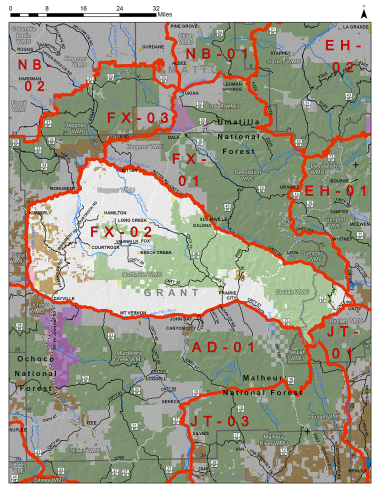
Boundary description
41% public lands. Beginning at John Day east on US Hwy 26 to Prairie City, southeast on Co Rd 62 to FR 13, southeast on FR 13 to FR 1370, north on FR 1370 to FR 2652; north on FR 2652 to FR 6005; northeast on FR 6005 to the junction with S Burnt Rvr Ln; northeast on S Burnt Rvr Ln to the town of Unity and US Hwy 26, northwest on US Hwy 26 to State Hwy 7, north on State Hwy 7 to Co Rd 20, northwest on Co Rd 20 to US Hwy 395, west on the Middle Fork John Day Rvr to the confluence of the N Fork John Day Rvr, southwest on N Fork John Day Rvr to State Hwy 19, south on State Hwy 19 to US Hwy 26, east on US Hwy 26 to John Day, point of beginning.
Please review the Big Game Regulations for sub-unit descriptions.
NOTE: This information is for reference use only, and is not intended to replace the information found in the current Big Game Regulations. Please consult the Big Game Regulations before purchasing tags or planning your hunting excursions.