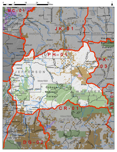
Boundary description
35% public land. Beginning at Redmond; north on US Hwy 97 to Crooked Rvr, north on Crooked Rvr to consequence with Deschutes Rvr to S Junction Rd, northeast on S Junction Rd to US Hwy 97 and US Hwy 197, south on US Hwy 97 to State Hwy 293, northeast on State Hwy 293 to Antelope, from Antelope east on Hwy 218 to Fossil, from Fossil southeast on Hwy 19 to Service Cr; south on State Hwy 207 to US Hwy 26; east on US Hwy 26 to Buck Point Rd/ FR 12; south on Buck Point Rd/FR 12 to Fr 42, west on FR 42 to NE Ochoco Ranger Station Rd (Co Rd 123), west on NE Ochoco Ranger Station Rd (Co Rd 123) to US Hwy 26, west on US Hwy 26 to State Hwy 126, west on State Hwy 126 to Redmond, point of beginning.
Please review the Big Game Regulations for sub-unit descriptions.
NOTE: This information is for reference use only, and is not intended to replace the information found in the current Big Game Regulations. Please consult the Big Game Regulations before purchasing tags or planning your hunting excursions.