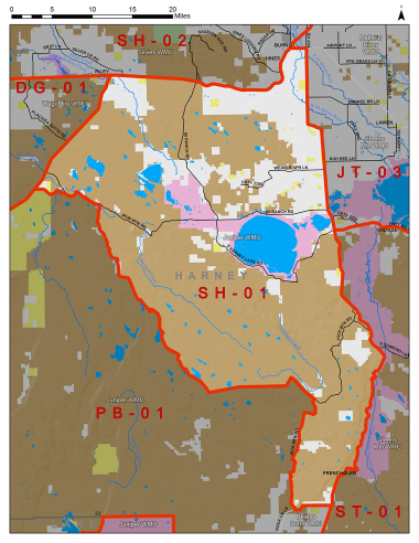
Boundary description
79% public land. Beginning at the Junction of US Hwy 395 and US Hwy 20 in Riley; south on Hwy 395 to Big Stick Rd (BLM Rd #7258-00) near MP 17, east on Big Stick Rd (BLM Rd #7258-00) to Lunch Lk Big Stick Rd (BLM Rd #7255-00), south on Lunch Lk Big Stick Rd (BLM Rd #7255-00) to Foster Flat Peterson Ranch Rd (BLM Rd #7256-00), southeast on Foster Flat Peterson Ranch Rd (BLM Rd #7256-00) to Matties Ark-Foster Flat Rd (BLM Rd #8238-00), east on Matties Ark-Foster Flat Rd (BLM Rd #8238-00) to Jack Mtn Rd (Harney Co Rd 411), south on Jack Mtn Rd to Rock Cr Ln (Harney Co Rd 412), east on Rock Cr Ln to State Hwy 205, north on Hwy 205 to State Hwy 78, west on Hwy 78 to Hwy 20, west on Hwy 395 in Riley, point of beginning.
Please review the Big Game Regulations for sub-unit descriptions.
NOTE: This information is for reference use only, and is not intended to replace the information found in the current Big Game Regulations. Please consult the Big Game Regulations before purchasing tags or planning your hunting excursions.