

Search myodfw.com
Showing 361 - 380 of 1500 results
Zones or Areas
Zones or Areas
Zones or Areas
Shellfish regulations only apply to Columbia River downstream of Tongue Point/Rocky Point line at the mouth of the Columbia River.
Site Sections
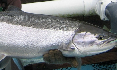
Crabbing and clamming are year-round activities on the Oregon coast. Clam diggers will want to watch for low tides, when more beach is exposed for digging. Crabbers will have the best luck during slack tide when crabs are walking about foraging. Visit e-regulations

Zones or Areas
The northwest zone provides many opportunities for crabbing and clamming. This zone encompasses Clatsop beaches, Nehalem Bay, Tillamook Bay, Netarts Bay, Nestucca Bay, Siletz Bay, Yaquina Bay, Alsea Bay and Siuslaw River.
Landing page
Need to figure out controlled hunts, find a place to clam, learn how to fish or get directions to a wildlife area? We've got information on all that and more, straight from ODFW biologists and other accomplished hunters, anglers and wildlife watchers. Header image by Dave Budeau
September 05, 2017
Landing page
ODFW manages 20 wildlife areas across the state, each with a unique blend of fishing, hunting and wildlife viewing opportunities. Remember, you'll need a Wildlife Area Parking Permit for your visit. See the map and listing below to find the wildlife area nearest you.
September 05, 2017

Landing page
A visit to an ODFW is a chance to see fish -- from eggs to brooders -- and to learn how they are raised. Many hatcheries also offer wildlife viewing opportunities and/or access to nearby fishing. Check the map and information below to find the hatchery nearest you.
September 05, 2017
Landing page
Find maps, boundary descriptions and the percent public land for the Alsea Unit.
September 05, 2017

Landing page
Find maps, boundary information and the percent public land in the Applegate Unit.
September 05, 2017
Landing page
Find maps, boundary descriptions and the percent public land for the Beatys Butte Unit.
September 05, 2017
Landing page
Find maps, boundary descriptions and the percent public land for the Beulah Unit.
September 05, 2017
Landing page
Find maps, boundary descriptions and the percent public land in the Biggs Unit.
September 05, 2017
Landing page
Find maps, boundary descriptions and the percent public land for the Catherine Creek Unit.
September 05, 2017
Landing page
Find maps, boundary descriptions and the percent public land for the Chesnimnus Unit.
September 05, 2017
Landing page
Find maps, boundary information and the percent public land in the Chetco Unit.
September 05, 2017
Landing page
Find maps, boundary descriptions and the percent public land for the Columbia Basin Unit.
September 05, 2017
Landing page
Find maps, boundary descriptions and the percent public lands for the Desolation Unit.
September 05, 2017
Landing page
Find maps, boundary descriptions and the percent public land for the Dixon Unit.
September 05, 2017
Landing page
Find maps, boundary information and the percent public land in the Evans Creek Unit.
September 05, 2017