Search myodfw.com
Showing 161 - 180 of 688 results


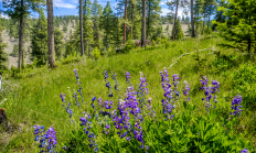
Spring, fall and winter are the seasons when most big game hunters will be in the woods or on the grasslands. Visit e-regulations

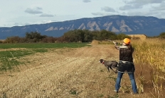
Features: A medium-size goose, adult snow geese are white with black-tipped wings that are visible in flight. Their pronounced pink bill has a dark "grinning" patch across it, and they have pinkish feet. Young of the year snow geese are grayish white with grey legs and bills. These birds are very vocal and can be heard over a mile away. Habitat: Snow geese are well-adapted to agricultural land. They can also be found in wetlands, roosting in open water. Sauvie Island, Summer Lake and Klamath wildlife areas have abundant snow goose populations during various times of year. Technique: Snow geese…

Find maps, boundary descriptions and the percent public land for the Stott Mountain Unit.
Central Point, Ore. – The Oregon Department of Forestry (ODF) declared fire season in southwestern Oregon on May 15 this year due to drought conditions, and Industrial Fire Precaution Level 2 (IFPL 2) went into effect on June 17, 2026. The ODF Southwest Oregon District is increasing the public use…


Find maps, boundary descriptions and the percent public land for the Trask Unit.

SALEM, Ore.—Do you have a love of hunting and passion for wildlife conservation? Are you knowledgeable about forestry and/or agriculture? If so, there are vacancies for a Landowner Representative and a Hunter Representative on the Access & Habitat (A&H) Board. Applications are being accepted by the Oregon Department of Fish…

SALEM, Ore. – Oregon may soon have a new wildlife area in Union County called the Qapqápa Wildlife Area (pronounced cop-COP-a). The property would be owned by the Oregon Department of Fish and Wildlife (ODFW) and co-managed with the Confederated Tribes of the Umatilla Indian Reservation (CTUIR), continuing a decades-long…