
Search myodfw.com
Showing 1001 - 1020 of 1687 results
Find maps, boundary descriptions and the percent public land for the Wagontire Unit.
Find maps, boundary descriptions and the percent public land for the Walla Walla Unit.
Find maps, boundary descriptions and the percent public land for the Warner Unit.
Find maps, boundary descriptions and the percent public land for the Wenaha Unit.
Find maps, boundary descriptions and the percent public land for the Whitehorse Unit.
Find maps, boundary information and the percent public land for the White River Unit.
Find maps, boundary descriptions and the percent public land for the Willamette Unit.
Find maps, boundary descriptions and the percent public land for the Wilson Unit.
Each year, ODFW stocks millions of trout in dozens of reservoirs, lakes and ponds throughout the state. You can use the search and filter functions to search the stocking schedule for specific locations and dates. The schedule is subject to change without notice; see individual waterbody listings in the Recreation Report for updates.
Find the latest fish counts across the state.


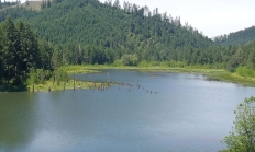
Find the weekly statistics for waterfowl and upland game birds at Ladd Marsh Wildlife Area. More information about Ladd Marsh Wildlife Area
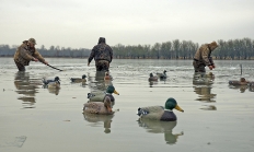
Find the weekly statistics for waterfowl and upland game birds for E.E. Wilson Wildlife Area. More information about E.E. Wilson Wildlife Area
Find the weekly statistics for waterfowl and upland game birds at Denman Wildlife Area. More information about Denman Wildlife Area
Check out the latest Chinook and steelhead counts at Leaburg Dam.
Upper and Lower Bennett Dams are located southeast of the town of Stayton on the North Santiam River. Upper Bennett Dam is on the south side of Stayton Island and Lower Bennett Dam is on the north side.